Planning in Chula Vista
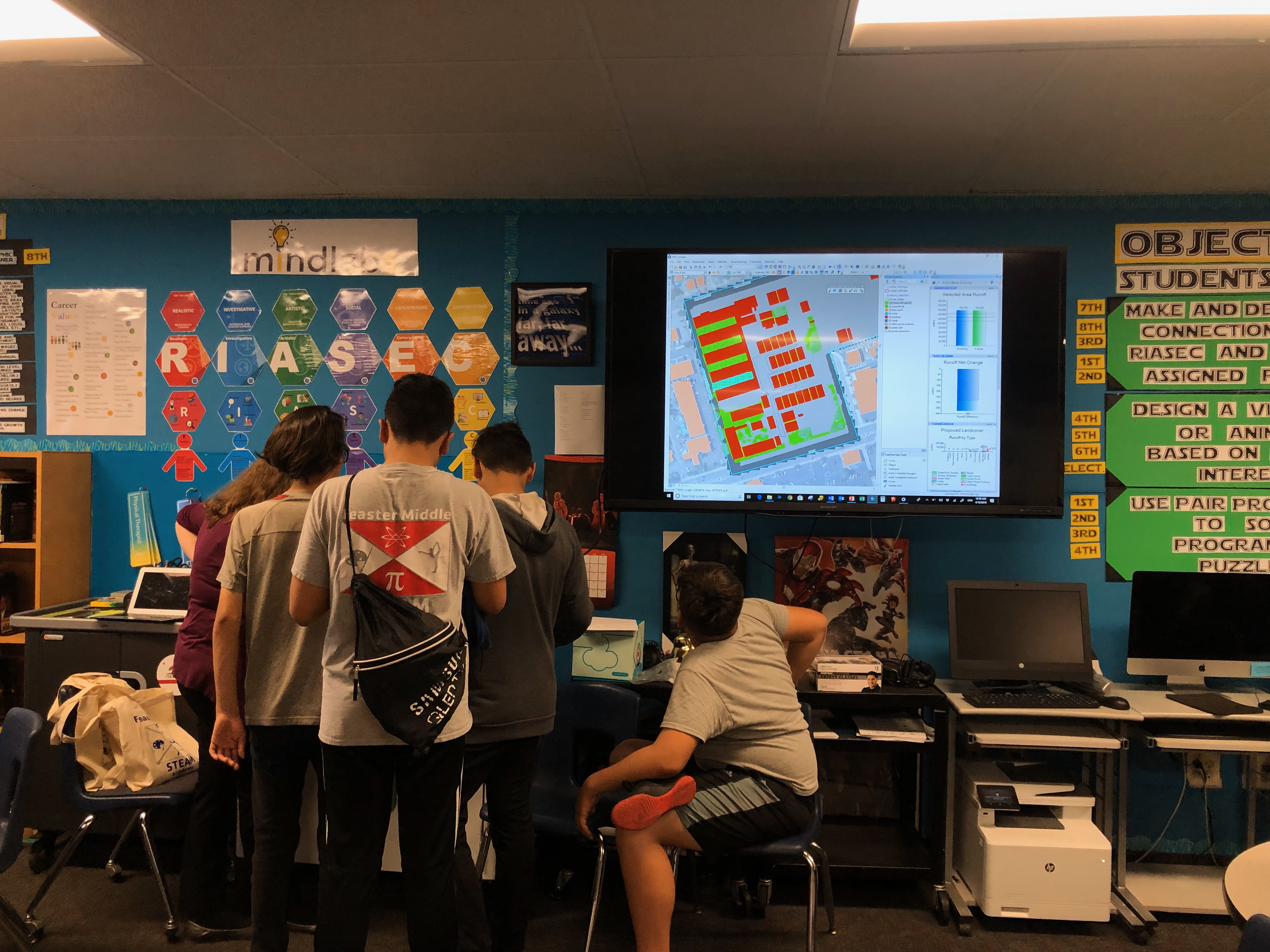
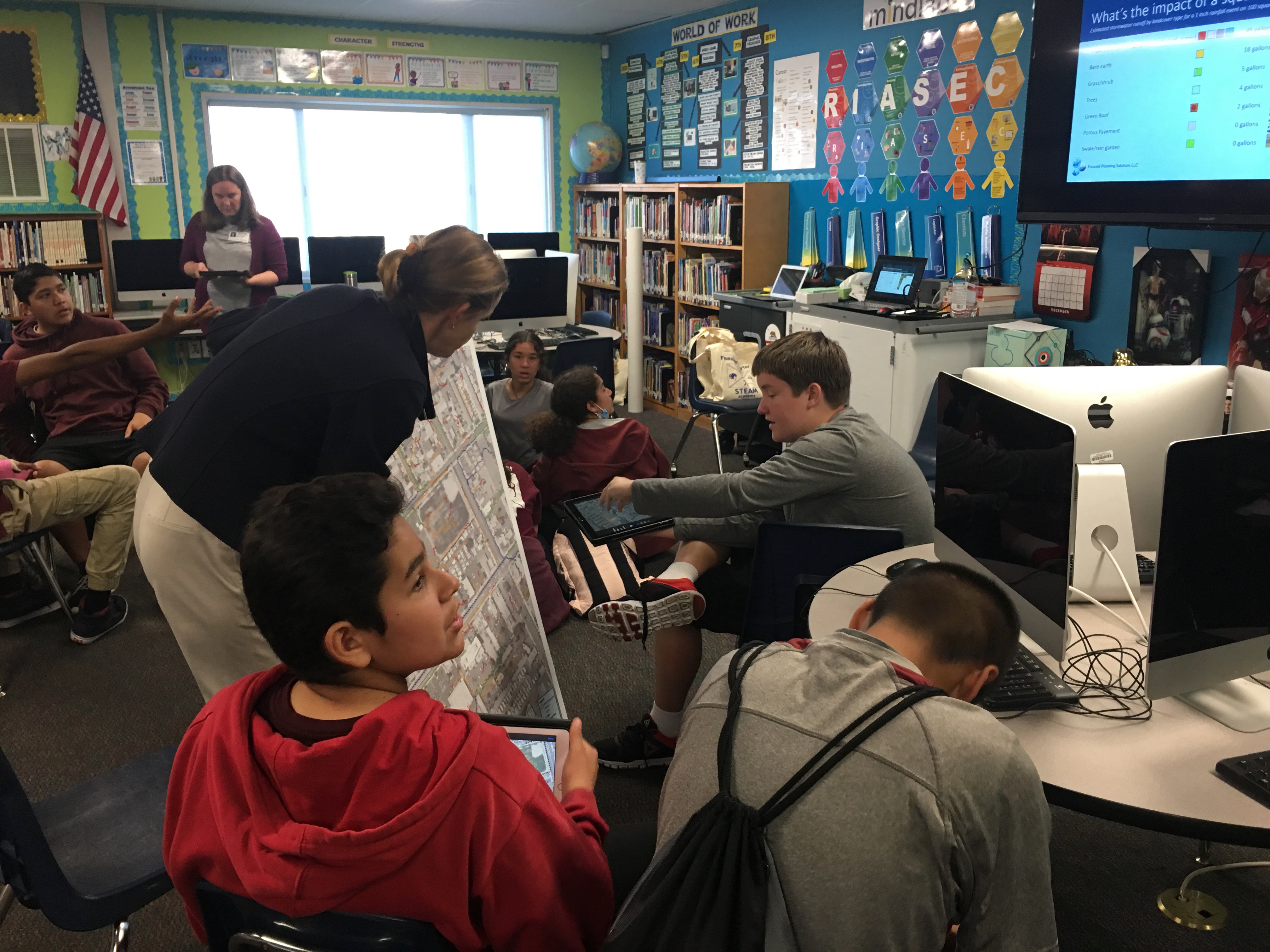
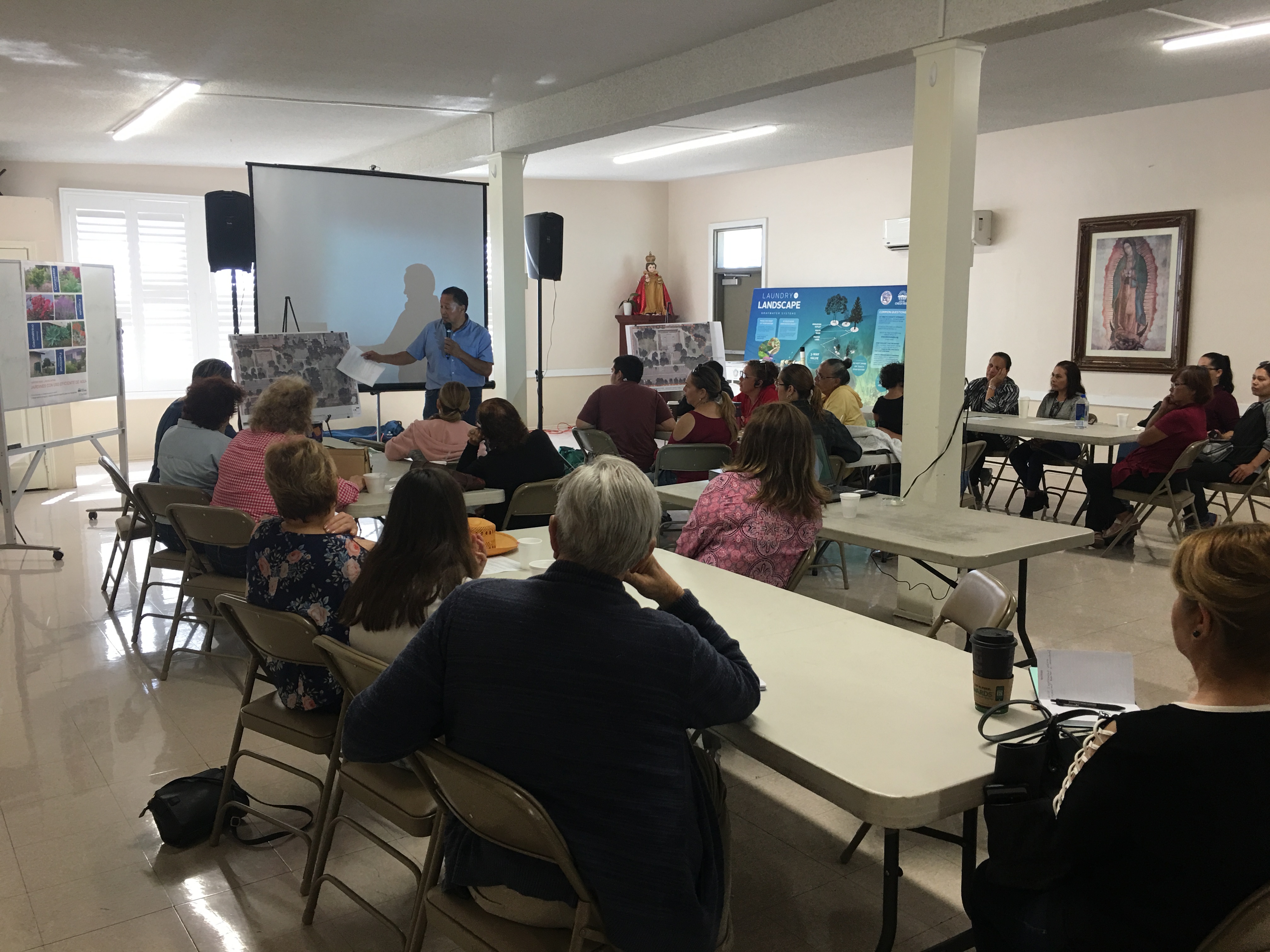
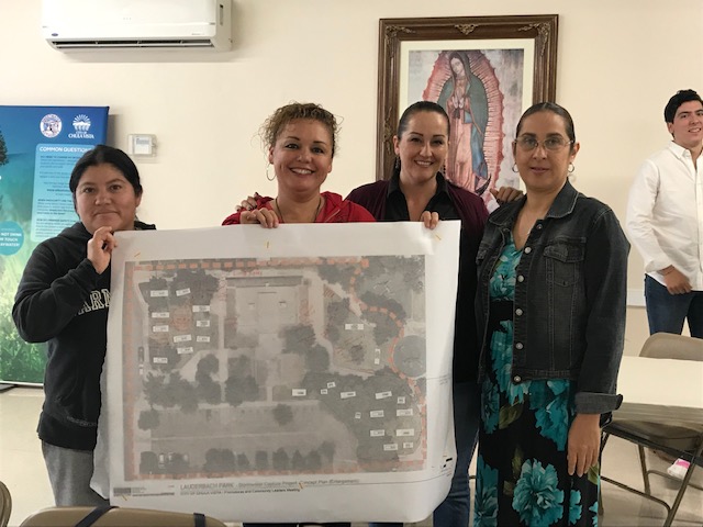
The team’s efforts in the City of Chula Vista led to the evaluation of dozens of sites using the UCSD Spatial Analytics toolkit. The outreach process began in Chula Vista’s schools, working with promotoras and members of the Resident Leadership Academy through South Bay Community Services (https://southbaycommunityservices.org/portfolio/community-engagement/) to identify information and education needs around non-potable re-use, flooding, and xeriscape, and looking for sites and organizations that would make maximum use of the opportunity for collaborative design. Initially, many sites were investigated but site conditions and land ownership/management structures posed significant challenges to collaborative design. Ultimately, the team worked with faculty, staff and 8th grade students at Mae L. Feaster Elementary Middle School on a curriculum module and flood-reducing green infrastructure designs for the campus. Fortuitously, the UCSD team and City also worked with South Bay Community Services and the Resident Leadership Academy on the design for rainwater harvesting, landscape transformation, and a community garden irrigated with rainwater at Lauderbach Park, where SBCS will be moving into an unoccupied City building.