Bioregional Center
- Public Health Task Force
- UCSD Spatial Analytics and Visualization
- San Diego Housing Commission
- Imperial Beach
- Chula Vista
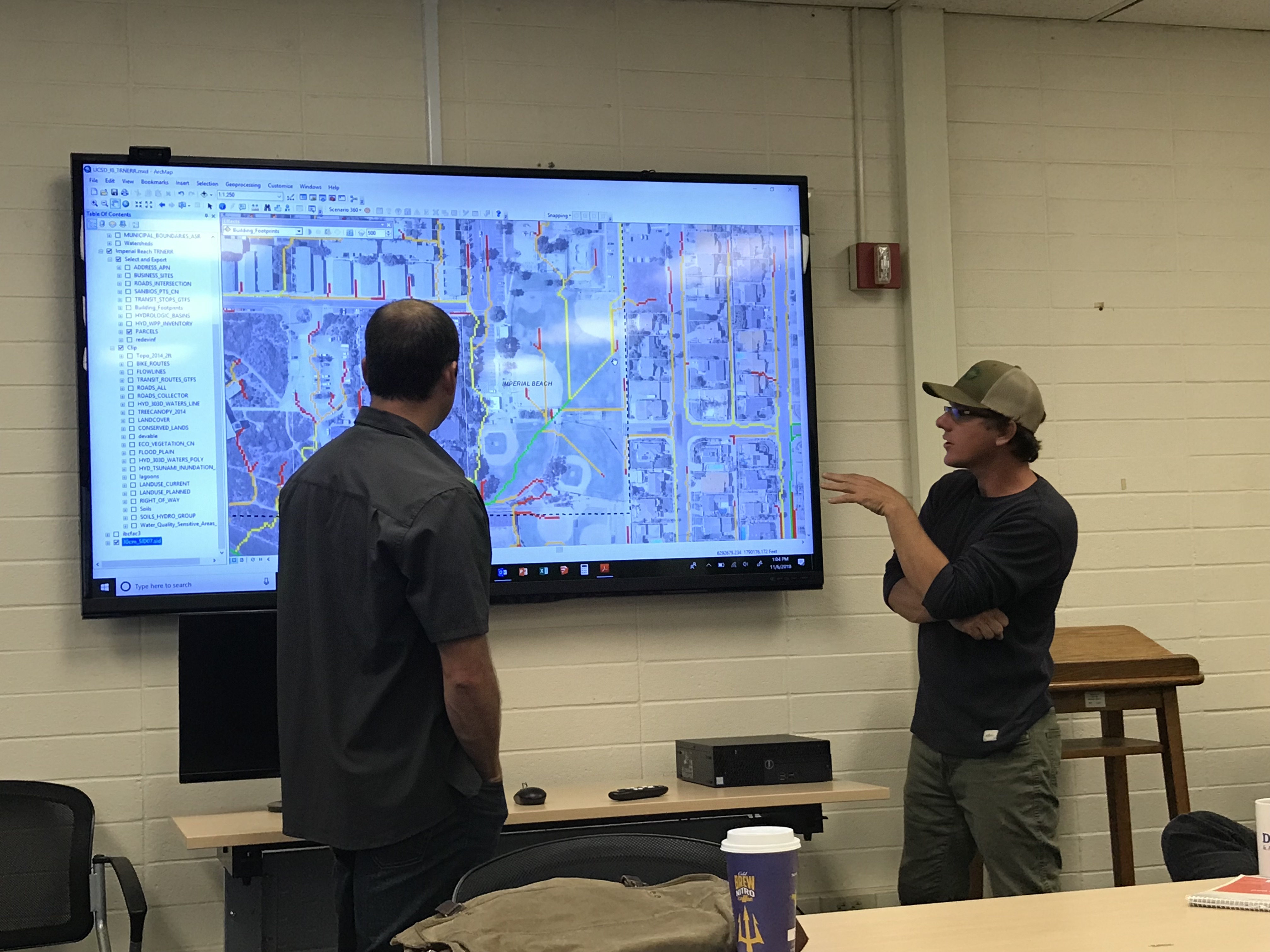
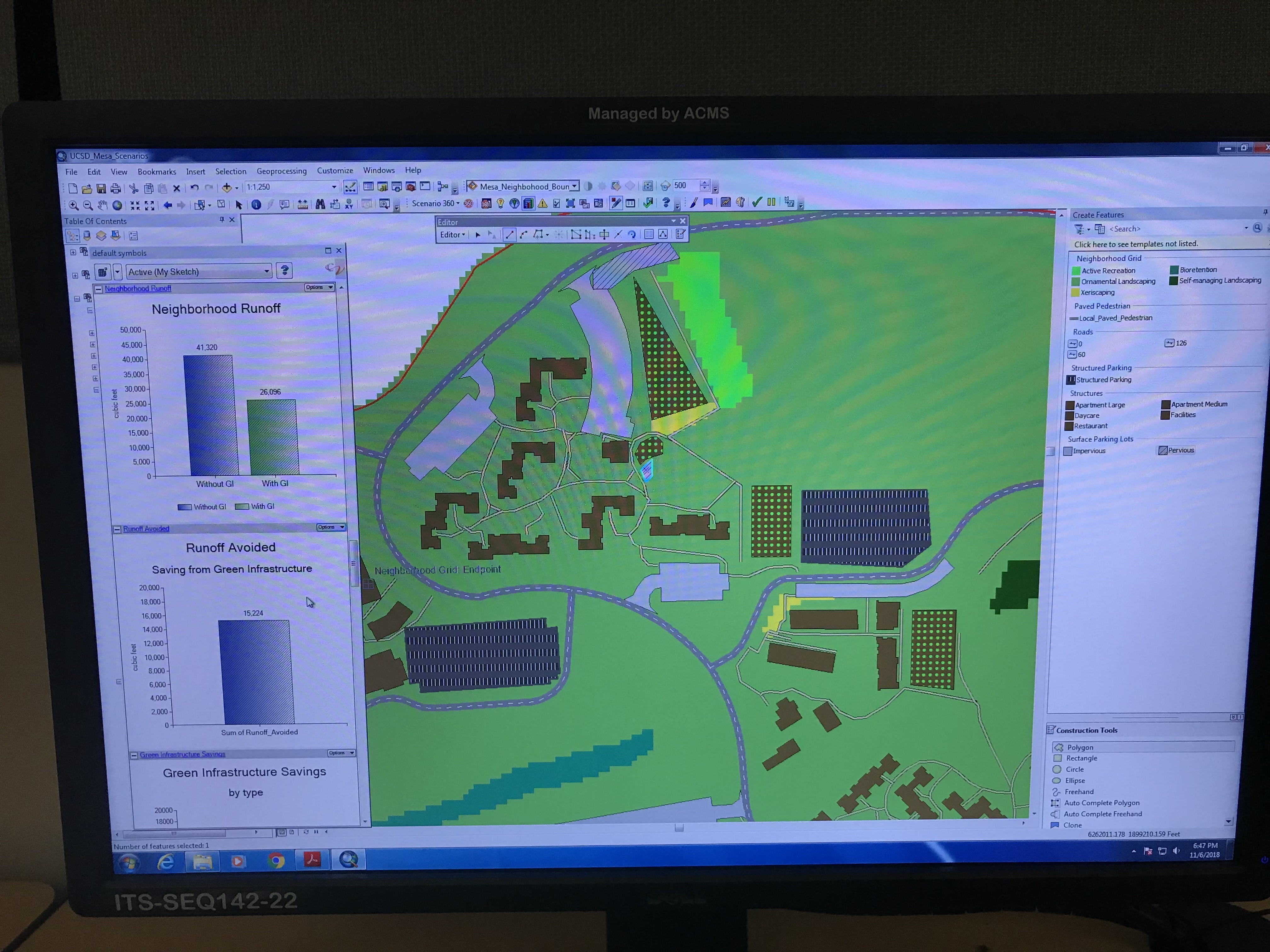
UCSD BRC's spatial analysis toolkit integrates and customizes four basic geospatial, scenario planning, and engineering software tools - ArcGIS, Survey123, ArcHydro(R) flow paths, and CommunityViz ® scenario planning. These tools were used to identify flood prone areas and opportunities for alternative non-potable use and storm water interventions in DAC neighborhoods and on SDHC properties. The tools were used to categorize the landscape typologies on all SDHC properties as the basis for the SDHC Landscape Typicals.
Spatial analytic tools were a powerful part of the DAC outreach and planning components. Flow path maps were used to illustrate where and how water is traveling across landscapes, as part of planning for redesigned, water-capturing spaces. The team provided training to GIS users throughout the region on the integrated CommunityViz and ArcHydro program, and developed a middle-school curriculum module on surface water management and green infrastructure that was deployed in the 8th grade Media Lab classes at Mae L. Feaster Elementary & Middle School in Chula Vista.